| Preview | Filename | Description |
|---|---|---|
|
|
selk_classification_iss.xlsx |
Gridded Terrain Classification from ISS data |
|
|
selk_classification_sar.xlsx |
Gridded Terrain Classification from SAR data |
|
|
selk_classification_vims.xlsx |
Gridded Terrain Classification from VIMS data |
|
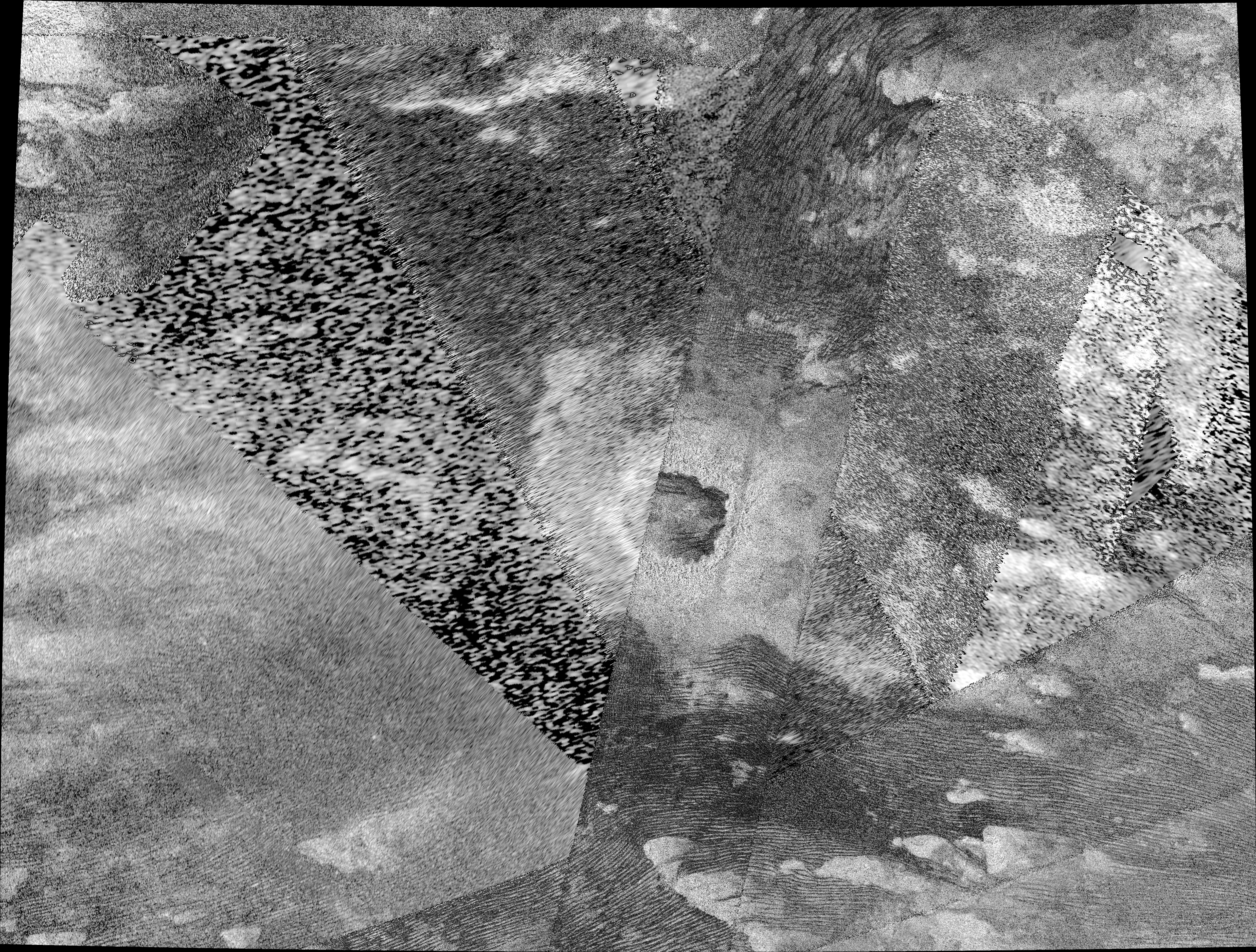
selk_orth_mosaic_256ppd.png |
Large Radar Mosaic of Selk Region |
|
selkgrid.png |
Gridded Radar Mosaic used for terrain classification |
|
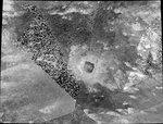
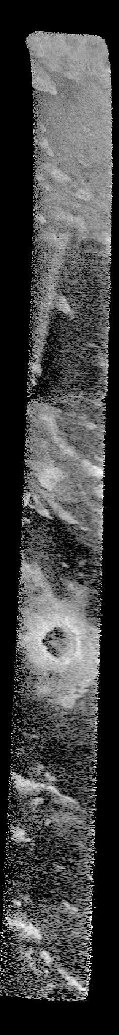
t36hisar_bibqf01n196_d149_t036s04_v02.jpg |
T36 HiSAR image of Selk |
|
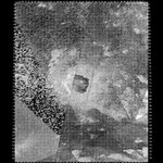
t98hisar_bifqg39n193_d257_t098s02_v02.jpg |
T98 HiSAR image of Selk |
|
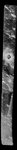
t121hisar_bifqg10n209_d277_t121s06_v02.jfif |
T121 HiSAR image of Selk |
|
|
sartopo_t095s01_b12_v03_170315.csv |
SARtopo profile |
|
|
sartopo_t095s01_b45_v03_170315.csv |
SARtopo profile |
|
|
dragonflylandingsitedatanotes.docx |
Summary Document |

|
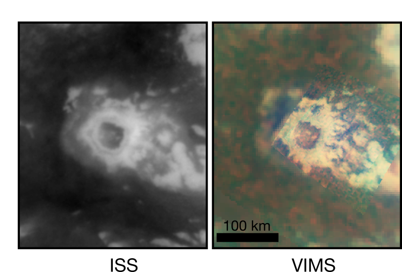
figuredatasets_vimsiss.png |
VIMS and ISS image mosaics of Selk |
